Satlas

About Satlas
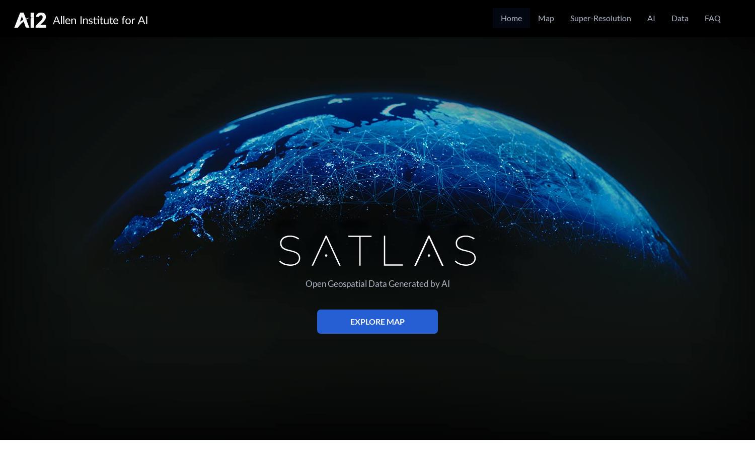
Satlas is an innovative platform that empowers users to visualize and analyze planetary changes through AI-annotated satellite imagery. Ideal for researchers, environmentalists, and enthusiasts, it features advanced AI models that enhance low-resolution images into high-resolution views, offering insights into critical issues such as climate change and deforestation.
Satlas offers a free access model for geospatial data, providing high-quality imagery and datasets for offline analysis. Users can utilize all AI models at no cost, ensuring affordable and comprehensive resources for environmental monitoring, analysis, and exploration of global changes, making Satlas a valuable tool for various user needs.
The user interface of Satlas is designed for seamless navigation and easy access to vital features. Its clean layout ensures that users can effortlessly explore satellite imagery and data sets. With user-friendly functionalities, Satlas enhances the browsing experience for environmental insights and analytics, catering to diverse audiences.
How Satlas works
Users engage with Satlas by navigating through its intuitive web platform, beginning with onboarding that introduces key features. After accessing the AI-annotated satellite imagery, users can explore various datasets regarding global changes, engage with detailed maps, and leverage super-resolution technology to gain insights into areas of interest effectively.
Key Features for Satlas
AI-annotated satellite imagery
Satlas harnesses AI-annotated satellite imagery, enabling users to visualize significant ecological changes over time. This unique feature enhances the understanding of critical environmental shifts, such as deforestation and renewable energy infrastructure changes, providing valuable insights for researchers, educators, and decision-makers involved in environmental monitoring.
Super-Resolution Technology
The super-resolution technology in Satlas revolutionizes how users perceive low-resolution satellite images by transforming them into high-quality visuals. This feature allows for a detailed examination of global transformations, empowering users with critical tools to analyze and understand the intricate changes occurring in various environments worldwide.
Publicly available geospatial datasets
Satlas provides access to an extensive range of publicly available geospatial datasets, enriching the user experience. By enabling offline analysis and research, users can delve deeper into ecological studies and monitor critical changes without barriers, making Satlas a vital resource for environmental scientists and policymakers alike.
You may also like:


